Zara Schwarz · 22 November 2026
Citizen Scientists Bridge Gaps Between Pollution Metrics and Marine Life Protection Strategies
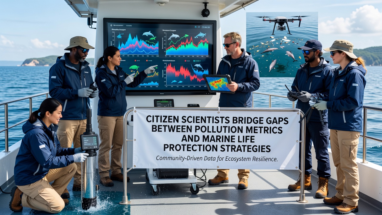
Communities along coastlines have turned to organized volunteer programs that gather precise measurements of contaminants in seawater and sediment while tracking how those readings align with observed changes in fish populations and coral health and researchers have documented these efforts expanding rapidly since early 2025. Data collected through standardized protocols now feeds directly into regional management plans that adjust protected zones and fishing restrictions based on real-time pollution thresholds rather than annual summaries alone.
Expanding Data Collection Networks
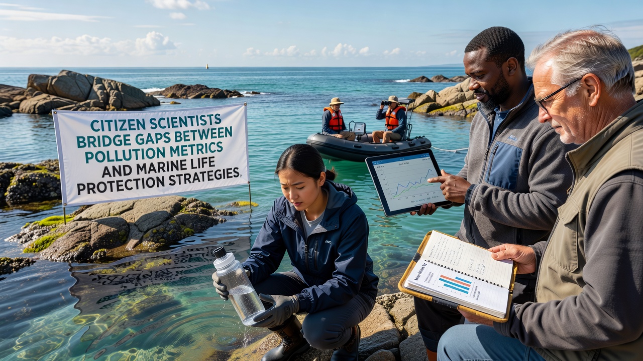
Local residents trained in sampling techniques visit fixed stations monthly and record levels of microplastics, nutrient runoff, and trace metals using portable kits that transmit results to centralized databases within hours and these uploads allow scientists to map pollution gradients across bays and estuaries with greater resolution than government monitoring programs achieve on their own. In several regions the additional density of observations has revealed previously undetected spikes during storm events that coincide with temporary die-offs of juvenile shellfish and researchers at multiple institutions have begun integrating these datasets into predictive models that forecast habitat suitability weeks ahead.
Linking Metrics to Species Responses
Analysis of combined volunteer and agency records shows that elevated nitrogen concentrations above 0.4 milligrams per liter correlate with shifts in foraging patterns among certain reef fish species and similar patterns appear in migration timing for pelagic fish that avoid nearshore areas during peak runoff periods. Protection strategies have incorporated these correlations by establishing temporary buffer zones around river mouths during high-rainfall months and authorities in both North America and Australia have cited the expanded datasets when revising seasonal closure boundaries for commercial harvest.
Case Examples from Multiple Regions
Along the Pacific Northwest, volunteer teams have maintained continuous records of polycyclic aromatic hydrocarbon levels near urban ports and these measurements prompted adjustments to vessel traffic lanes that reduced exposure for migrating salmon populations in late 2025. In the Mediterranean, similar citizen-led surveys documented plastic debris concentrations that exceeded thresholds set by the European Environment Agency and prompted pilot programs for extended no-take areas around affected seagrass beds. Australian monitoring groups operating near the Great Barrier Reef have supplied sediment contaminant profiles that align with coral bleaching recovery rates and resource managers have used the information to prioritize restoration sites where pollution reduction measures show measurable benefits.
Technology Supporting Broader Participation
Smartphone applications now guide participants through calibration steps for handheld spectrometers and automatically flag anomalous readings for expert review while cloud platforms allow cross-validation against satellite imagery of algal blooms and sediment plumes. These tools have lowered the barrier for consistent data quality and participation numbers reached several thousand active contributors across monitored coastlines by mid-2026. November 2026 workshops organized by international marine research networks will focus on harmonizing protocols so that datasets from different continents can be merged without introducing systematic bias.
Policy Integration and Future Outlook
Regulatory agencies have begun requiring that new environmental impact assessments incorporate citizen-collected baselines when they exceed the spatial coverage of official surveys and this requirement has accelerated the pace at which protection measures respond to emerging contamination events. Continued growth in volunteer networks depends on sustained funding for training materials and equipment maintenance yet the demonstrated improvement in resolution for both pollution tracking and species response data has already influenced multiple coastal management plans on three continents. Observers note that the approach fills longstanding gaps between laboratory-derived thresholds and field conditions experienced by marine organisms in dynamic environments.
Conclusion
Volunteer monitoring programs continue to supply the fine-scale observations needed to connect specific pollutant loads with measurable effects on marine communities and agencies have responded by embedding these inputs into adaptive protection frameworks that operate on shorter time scales than traditional cycles allow. The result is a steadily tightening feedback loop between data collection and management action that operates across varied geographic and regulatory settings.