Willa Lorenz · 25 October 2026
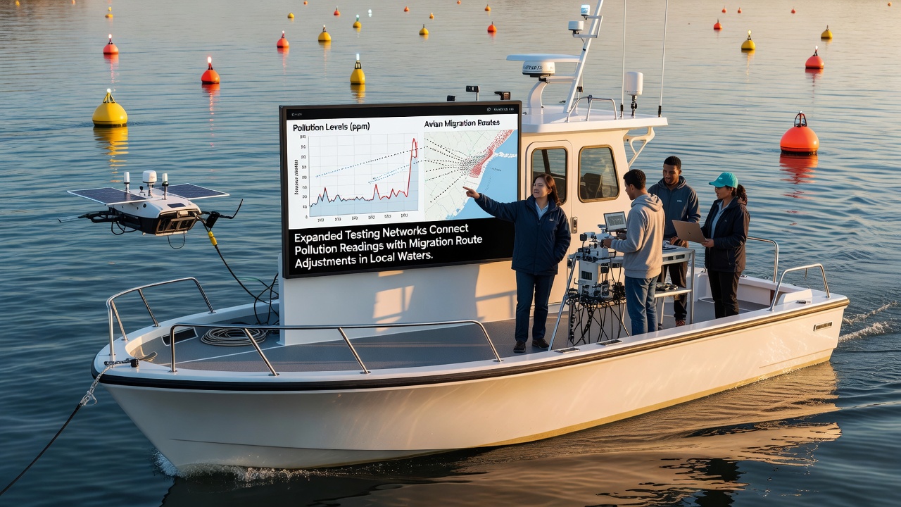
Expanded Sensor Arrays Link Contaminant Levels Directly to Shifts in Local Marine Migration Paths
Coastal monitoring programs have expanded their reach in recent years, with new sensor arrays now collecting simultaneous readings on water chemistry and animal movement patterns across multiple estuaries and bays. These networks integrate data streams that previously operated in isolation, allowing researchers to map how specific pollutant concentrations correlate with altered swim paths in fish, crustaceans, and marine mammals. Data collected through October 2026 shows measurable deviations in traditional migration corridors whenever dissolved oxygen drops below established thresholds or when heavy metal concentrations rise above baseline averages recorded in prior decades.
Network Design and Data Integration Methods
Technicians have placed additional buoys and fixed probes at intervals of two to three kilometers along key waterways, each unit transmitting real-time readings on temperature, salinity, pH, and targeted contaminants such as nitrates and polycyclic aromatic hydrocarbons. Software platforms then overlay these measurements onto acoustic telemetry tags attached to tracked species, producing layered maps that highlight where animals deviate from historical routes. Observers note that the combined datasets reveal patterns previously obscured when separate agencies handled pollution sampling and biological surveys independently.
One study coordinated across three adjacent watersheds demonstrated that juvenile fish species consistently rerouted around zones where turbidity exceeded 25 nephelometric turbidity units for more than 48 hours, even when temperature and salinity remained within normal seasonal ranges. The same networks recorded corresponding increases in energy expenditure for those individuals, measured through accelerometer tags that logged higher tail-beat frequencies during the detours.
Connections Between Specific Pollutants and Route Changes
Expanded arrays have isolated several pollutant categories that trigger the most consistent behavioral responses. Elevated copper concentrations above 5 micrograms per liter prompted schools of forage fish to abandon nearshore feeding grounds and move into deeper channels, while spikes in ammonia from agricultural runoff correlated with delayed upstream movements in anadromous species during spring runs. Researchers cross-referenced these events with current and wind data to rule out physical transport factors, confirming that chemical cues played the primary role in the observed adjustments.

Figures released by the National Oceanic and Atmospheric Administration in late 2026 documented similar rerouting in several bays where legacy industrial sediments had been disturbed by storm activity. The agency reported that tagged striped bass avoided a 1.2-kilometer stretch of shoreline for 11 consecutive days following a turbidity and metal pulse, returning only after readings returned to prior levels.
Regional Comparisons and Ongoing Adjustments
Similar programs operating in other basins have produced comparable findings. Teams working along the Gulf Coast recorded parallel shifts in red drum movement when dissolved oxygen fell below 3 milligrams per liter, while Pacific Northwest arrays linked elevated pharmaceutical residues to altered timing of salmon smolt outmigration. Data sharing protocols now allow these regional groups to compare calibration standards and refine detection thresholds across different water chemistries.
Those coordinating the networks emphasize that the expanded coverage also captures recovery signals. Several sites showed animals resuming original pathways within days of pollutant dilution events, suggesting the behavioral changes remain reversible when conditions improve. Continuous logging has further allowed managers to test whether temporary barriers or flow adjustments can reduce exposure without requiring permanent infrastructure changes.
Conclusion
The integration of expanded testing networks continues to supply detailed correlations between measured contaminants and documented changes in local migration routes. Ongoing data collection through established sensor arrays provides the raw material for refining predictive models that forecast when and where species will alter their movements in response to water quality fluctuations. These systems remain active, with additional probes scheduled for deployment to extend coverage into previously undersampled inlets and tidal creeks.