
Willa Lorenz · 13 September 2026
Persistent Bay Scans Reveal Unexpected Aquatic Species Diversity
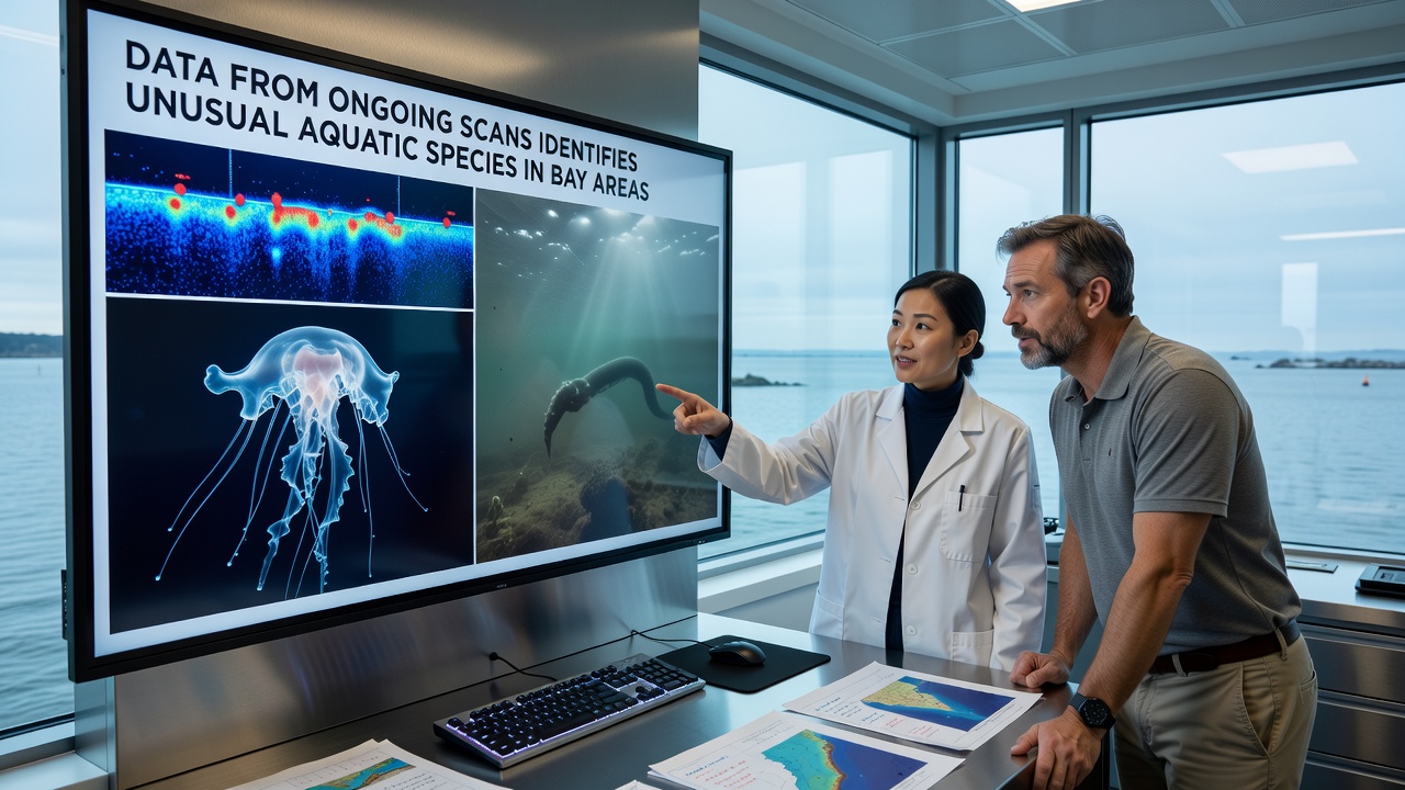
Continuous monitoring programs across multiple coastal regions have generated datasets that document the presence of aquatic species previously unrecorded in bay habitats, and these findings come from systematic scans conducted over extended periods with specialized equipment. Researchers note that acoustic and visual survey tools capture details about movement patterns, population densities, and habitat preferences that traditional sampling methods often miss, while integration of satellite imagery further refines the spatial accuracy of these observations.
Data collected through these efforts shows shifts in species composition within estuarine zones, and patterns emerge when analysts compare records from different seasons and locations. In several documented cases, organisms resembling deep-water forms appear in shallower bay waters during specific tidal cycles, which suggests possible changes in current flows or temperature gradients that facilitate such movements.
Survey Methods and Data Collection Practices
Teams deploy multibeam sonar arrays alongside underwater cameras at fixed stations, and they supplement these with periodic drone overflights that map surface conditions. This combination produces layered datasets where acoustic signatures align with photographic evidence, allowing verification of species identity without direct capture. Observers record variables such as salinity levels, dissolved oxygen, and substrate types at each scan point, and they enter these details into centralized databases that support cross-regional comparisons.
One project coordinated by institutions in the United States and Australia illustrates how shared protocols improve detection rates, and participants exchange raw files monthly to identify anomalies that might indicate range expansions. Figures from the National Oceanic and Atmospheric Administration indicate increased sightings of gelatinous and crustacean forms in monitored bays during late summer months, while parallel records from Canadian coastal programs reveal similar trends in northern inlets.
Species Observations and Geographic Patterns
Scan outputs highlight the appearance of elongated fish-like structures that evade standard net surveys, and these detections cluster around underwater ledges where currents converge. Additional records note clusters of small invertebrates attached to artificial structures such as pier pilings, with size distributions that differ from nearby open-water populations. Analysts cross-reference these sightings against historical archives, and discrepancies prompt follow-up dives that confirm the presence of variants not listed in regional biodiversity inventories.
What's interesting is how detections align with seasonal upwelling events, and data from September 2026 shows elevated activity in several Pacific and Atlantic bays where water column mixing brings nutrients closer to the surface. A research summary published by the Commonwealth Scientific and Industrial Research Organisation links these nutrient pulses to temporary increases in species encounters, and the report notes that bay geometry influences how long such conditions persist before dispersal occurs.
Integration with Broader Marine Monitoring Networks
Agencies incorporate bay scan results into larger ecosystem assessments, and they use the information to adjust habitat protection boundaries when novel species clusters appear repeatedly. Software tools process incoming streams in near real time, flagging outliers that exceed established thresholds for abundance or location. This approach reduces response times when unusual patterns warrant targeted investigation, and it supports coordination between academic groups and government field offices.
Evidence from multiple programs demonstrates that combining citizen-science sightings with professional scan data improves coverage in hard-to-reach coves, and validation protocols ensure that volunteer contributions meet quality standards before inclusion. Such hybrid datasets have already refined distribution maps for several taxa, and ongoing refinements continue as more stations come online.
Conclusion
Accumulated scan records establish a baseline for tracking future changes in bay ecosystems, and they provide a reference against which subsequent surveys can measure deviations. Continued investment in sensor technology and data-sharing frameworks sustains the capacity to detect these occurrences across wider areas, and the resulting information informs management decisions that address both conservation priorities and resource use. As monitoring expands, the accumulated evidence offers clearer insight into how bay environments respond to natural variability and external pressures alike.