Willa Lorenz · 11 October 2026
Volunteer Networks Link Pollution Data With Species Shifts in Reefbay Monitoring Efforts
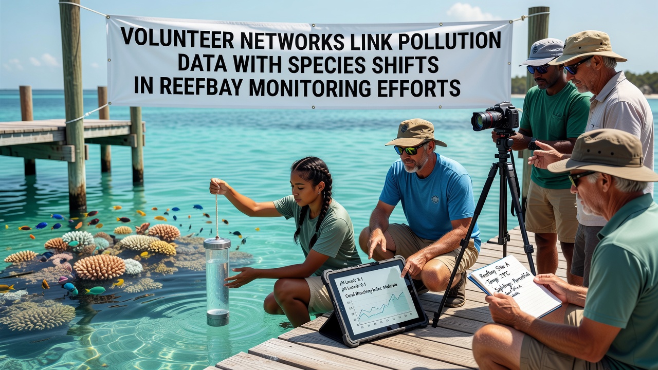
Volunteer networks have expanded their role in Reefbay by pairing direct pollution measurements with observations of species distribution changes over multiple seasons, and the approach has produced datasets that connect nutrient runoff levels to shifts in fish and invertebrate populations. Local groups coordinate weekly sampling at fixed stations where participants measure dissolved oxygen, nitrate concentrations, and turbidity while logging sightings of key indicator species such as parrotfish and sea cucumbers.
Coordinated Data Collection Across Multiple Sites
Teams divide the bay into zones that reflect varying exposure to agricultural runoff and urban drainage, and each zone receives consistent visits from trained volunteers who follow standardized protocols developed with marine research partners. The process allows simultaneous capture of chemical parameters and biological records, which creates time-stamped entries that researchers later align for trend analysis. In October 2026, several networks uploaded synchronized records covering eighteen months of continuous monitoring, and those records showed elevated nitrate readings coinciding with reduced counts of herbivorous fish in the southern sectors.
Participants use handheld sensors and water test kits calibrated against laboratory standards, while digital forms capture species presence through photographic verification and transect counts. The combination reduces gaps between environmental chemistry data and ecological response data that previously required separate expeditions. Observers note that the volunteer scale now exceeds what professional crews alone could maintain year-round, and the resulting density of observations supports finer spatial resolution in mapping pollution gradients.
Patterns Emerging From Combined Records
Analysis of the merged datasets reveals that stations recording nitrate levels above 0.8 milligrams per liter experienced measurable declines in damselfish abundance during the same periods, and similar patterns appear for certain crustacean groups near drainage outlets. The correlations hold after accounting for seasonal temperature cycles, which allows researchers to isolate pollution effects from broader climatic influences. Data from the networks further indicate that areas with lower turbidity maintained stable populations of filter-feeding sponges even when adjacent zones showed measurable losses.
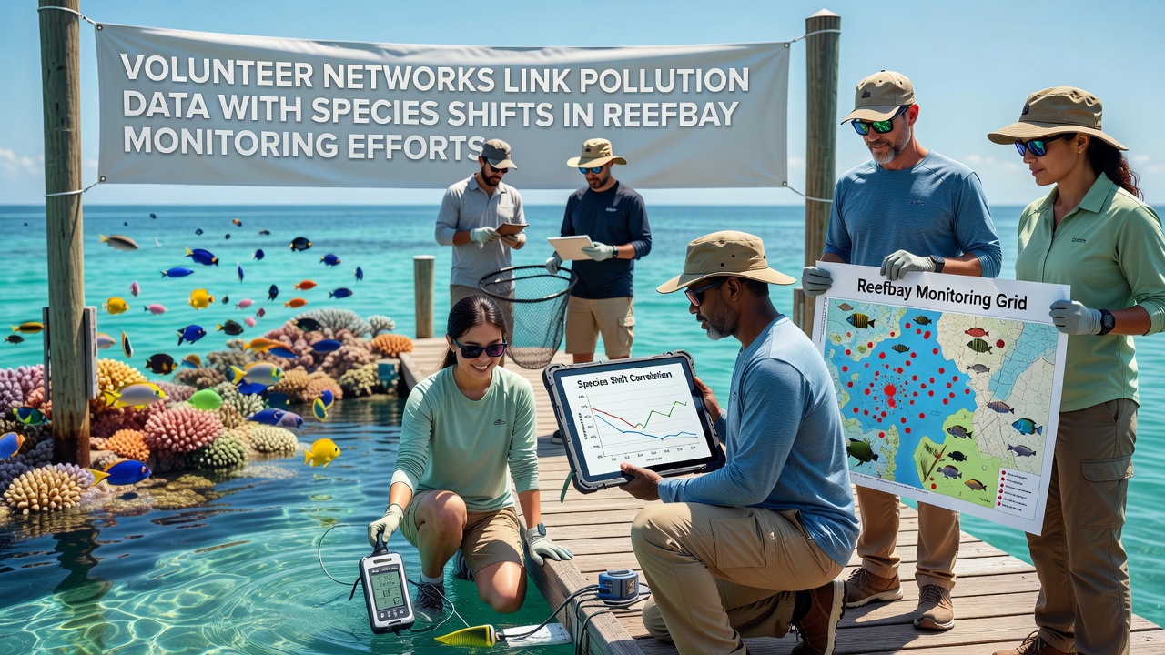
One study coordinated by a regional marine institute cross-checked volunteer entries against satellite-derived chlorophyll estimates, and the comparison confirmed that volunteer nitrate spikes aligned with visible algal bloom patches visible from space. The alignment strengthens confidence in the ground-level measurements while giving volunteers a broader context for their local findings. Additional checks against historical fishery logs from state agencies show that the timing of species reductions matches documented changes in catch composition reported by commercial operators in the same waters.
Integration With Broader Research Frameworks
Network organizers share anonymized records with academic teams and government monitoring programs, which incorporate the information into larger models of coastal nutrient dynamics. The U.S. Environmental Protection Agency maintains guidelines for volunteer water quality programs that these Reefbay groups follow, and the shared protocols enable direct comparison with similar efforts along the Gulf and Atlantic coasts. A parallel initiative in Australia through the CSIRO coastal ecology division uses comparable volunteer-sensor pairings to track similar nutrient-biota linkages on the Great Barrier Reef fringe, and the methodological overlap allows cross-regional validation of observed thresholds.
Training sessions emphasize consistent identification of focal species and proper handling of test reagents, which maintains data quality across rotating volunteer cohorts. Supervisors conduct periodic audits by repeating a subset of measurements, and agreement rates above 90 percent support continued use of the citizen-collected values in peer-reviewed publications. The approach also generates public awareness materials that translate raw numbers into maps showing where pollution hotspots overlap with biodiversity declines.
Future Expansion and Data Accessibility
Plans for the coming year include addition of acoustic sensors at a subset of stations to capture nocturnal activity patterns that visual surveys miss, and the new instruments will stream data directly into the same database used for manual entries. Network leaders are developing open-access dashboards that display both pollution metrics and species counts in near real time, allowing any user to query relationships between specific contaminants and particular taxa. The dashboards draw on the October 2026 dataset release as a baseline, and subsequent uploads will update trend lines automatically.
Continued growth depends on sustained recruitment and retention of participants, which network coordinators address through school partnerships and corporate volunteer days that introduce new contributors to field methods. The resulting expansion of coverage increases statistical power for detecting subtle shifts that single-site studies often overlook. Researchers continue to refine statistical models that weight volunteer observations according to verified accuracy rates, which preserves the contribution of large datasets while controlling for potential observer variability.
Conclusion
The linkage of volunteer-collected pollution measurements with species occurrence records in Reefbay has produced a growing body of evidence that connects nutrient enrichment patterns to localized changes in marine community composition. The scale and consistency of these efforts now support analyses previously limited to well-funded research cruises, and the open sharing of protocols and data extends the utility of the work beyond the immediate bay. As additional sensors and expanded volunteer coverage come online, the resolution of these connections is expected to improve further, providing clearer guidance for targeted management actions that address both pollution sources and affected habitats.